Bush Explorers Encyclopaedia
Name:
Pyramid Hill
Description:
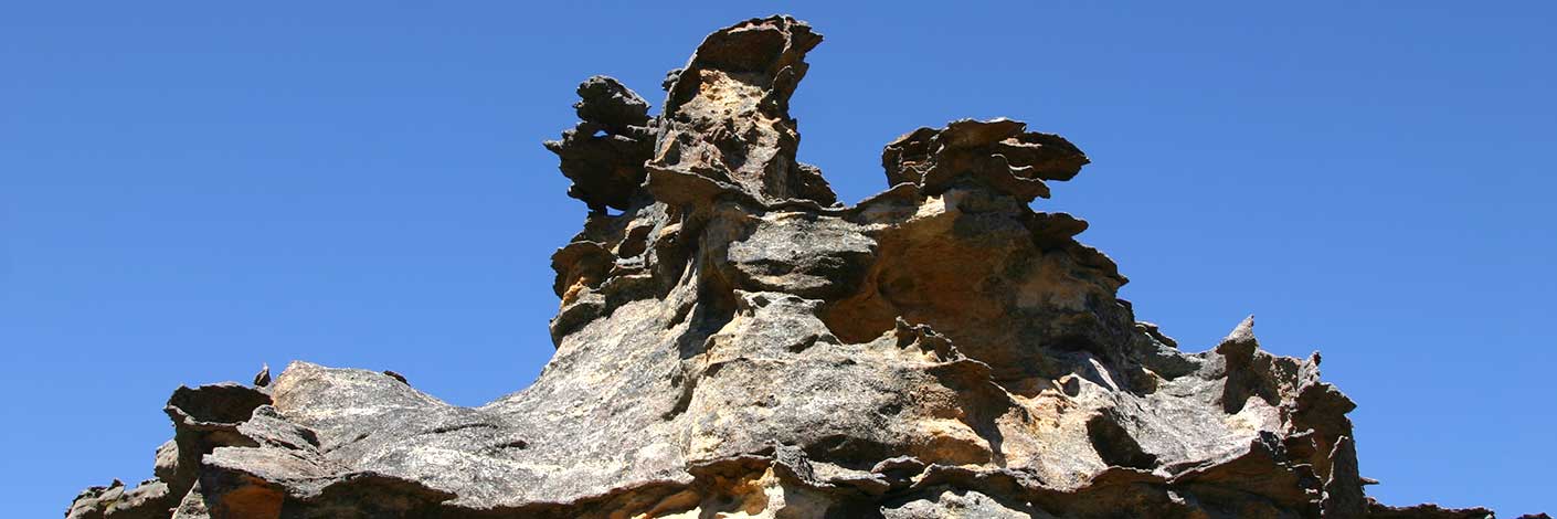
Was the farthest point reached by Surveyor Robert Hoddle, in October 1823. He recorded,"reached a Hill, distant 25 miles from Encampment. The summit was a sandstone rock, in the form of a Pyramid, whose base was 70 feet wide and 50 feet high, which I named Pyramid Hill". Andy Macqueen suggests the hill Hoddle climbed was Birds Rock , via Sunnyside Ridge Road, certainly the highest point in this locality at 1181m. Ref: Macqueen, Andy. Assistant Surveyor Robert Hoddle's 1823 Excursion in the Gardens of Stone - and a Dark Secret? Blue Mountains History Journal, Issue No. 6; December 2015.
Maps:
- Cullen Bullen
Grid Reference:
- 387 088
Location:
Newnes State Forest
Status:
Threatened
Related Names:
Read More In:
Walks:
Photos:

