Bush Explorers Encyclopaedia
Name:
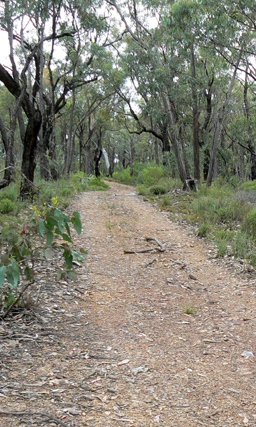
Airly Creek Trail
Description:
Is a NPWS signed walking track. It is approximately 5km in length and is based on former property access roads. It commences on Glen Davis Road and follows a ridge south, crosses Airly Creek and terminates at the junction with Murdocks Creek Trail.
Maps:
- Ben Bullen
Grid Reference:
- 258 296 to 250 256
Location:
Gardens of Stone National Park
Status:
Protected
Related Names:
Read More In:
Walks:
- GOS1.03: South West end of Airly
Photos: