Bush Explorers Encyclopaedia
Name:
Airly Gap
Description:
Is a saddle separating the catchments of Gap Creek and Malcolms Gully. It was also the original access to the Town of Airly. It is located approximately 1.2km from Glen Davis Road. Also known as Airly Gate.
Maps:
- Glen Alice
Grid Reference:
- 237 325
Location:
Mugii Murum-ban State Conservation Area
Status:
Threatened
Related Names:
Walks:
- GOS1.01: Blacks Corner
- GOS1.03: South West end of Airly
- GOS1.04: Airly Creek and Winding Pinch Creek
- GOS1.05: East Mount Airly
- GOS1.09: Passes of East Genowlan Mountain
- GOS1.11: Point Hattera and Ladders Defile
- GOS1.14: Rowans Hole West to East
- GOS1.22: The Valley of the Kings
- GOS1.23: The Eastern Extension of Mount Genowlan
- GOS1.24: Genowlan Canyon, Mothers Arms and the Dragons Mouth
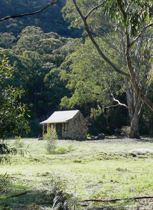
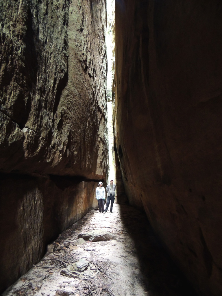
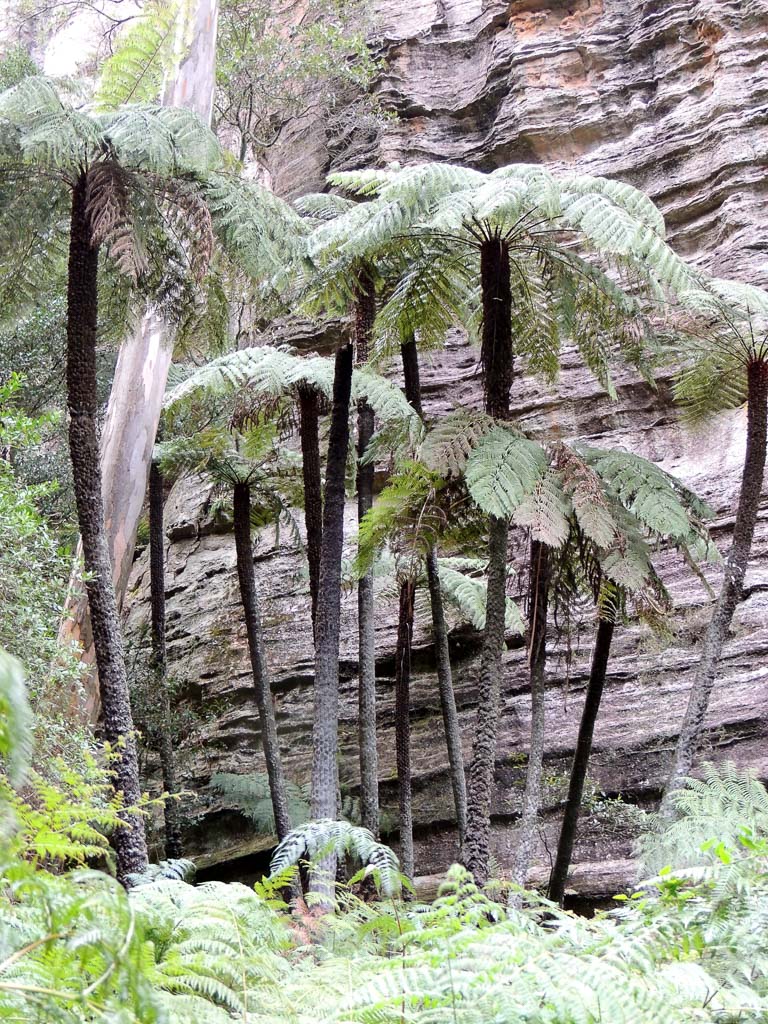
Photos: