Bush Explorers Encyclopaedia
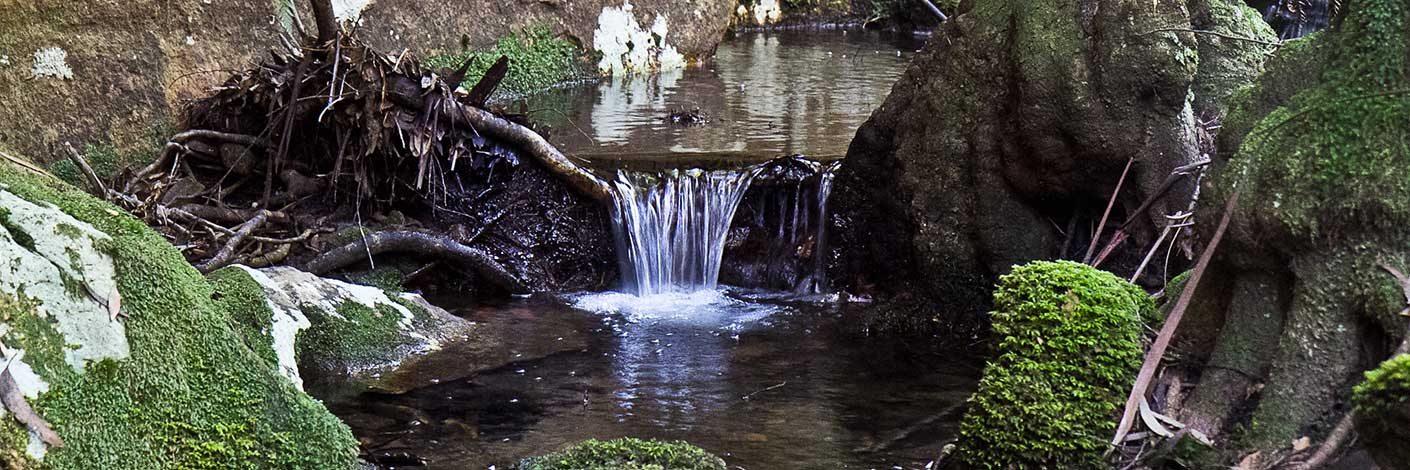
Is an old, disused name. Barcoo is an Aboriginal name meaning, "Ice on Water". Barcoo Swamp forms the headwaters of Deanes Creek. Barcoo Swamp is located on the north east side of the Glowworm Tunnel Road and Galah Mountain Road intersection. Cullen Bullen Topo Map, GR 438 111. Ref: Barcoo Swamp shown on Tramway from Wolgan to Clarence. Survey Plan M12435. Surveyed by John Haydon Cardew, Licensed Surveyor, 13th December1905. Stephens, Eric. Wolgan Railway Notebook, 1934-1937. Records, "Track to Barcoo Hut". The first land grant of Cullen Bullen (2000ac) was taken up by Robert Venour Dulhunty. His brother Lawrence Vance Dulhunty also took a large grant of land nearby. He was at one stage Commissioner of Disputed Land Claims in the Tambo, Barcoo district in Queensland. Robert's son Lawrence Joseph Edward Dulhunty, moved to Tambo, Queensland and it was here that some of his children were born. The Barcoo River runs past Tambo. Ref: Dulhunty Papers, The Brisbane Courier, 26th March 1881, p. 7. Carne, J E. Field Book, State Records, 2/663, 11th January 1906, records, "Barcoo Hut".
- Cullen Bullen
- 438 111

