Bush Explorers Encyclopaedia
Name:
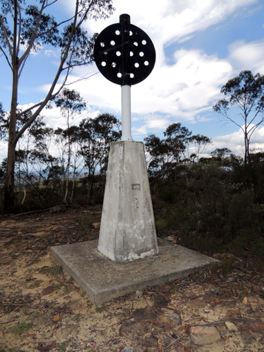
Birds Rock Trig Station *
Description:
At the elevation of 1181m, is located about 6km south west of Deanes Siding and about 600m north, north east of the intersection of Sunnyside Ridge Road and Birds Rock Trail. T. S. No. 6278. Previously known as Sunnyside.
Maps:
- Cullen Bullen
Grid Reference:
- 387 088
Location:
Newnes State Forest
Status:
Threatened
Related Names:
Read More In:
Walks:
- GOS6.26: Birds Rock Creek
Photos: