Bush Explorers Encyclopaedia
Name:
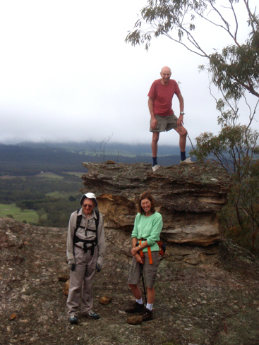
Blackmans Crown *
Description:
Is a hill rising about 240 metres from Turon Creek with a height of 1015m. It is about 3km south, south east of Capertee and 1km south of Pearsons Lookout. Located on the Great Dividing Range, this part of the ridge is locally known as Crown Ridge.The NSW Government Gazette, 1835, p. 24, records the name Blackmans Crown. Lang, John Dunmore. An Historical and Statistical Account of New South Wales, 1875, p. 220, records,"the singularly formed summit of which is called Blackman's Crown, in honour of one of the earliest settlers at Mudgee, whose hat or head piece it was to resemble."
Maps:
- Capertee
Grid Reference:
- 795 254
Location:
Status:
Read More In:
Walks:
- GOS1.14: Rowans Hole West to East
- GOS1.20: Hecates Cauldron
- GOS1.21: Blackmans Crown and Platform Rock
- GOS1.23: The Eastern Extension of Mount Genowlan
- GOS2.24: Traversing Pantoneys Crown
Photos: