Bush Explorers Encyclopaedia
Name:
Chaos Ridge
Description:
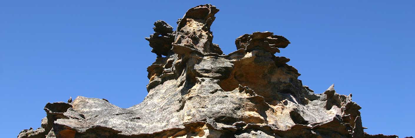
Trends south, south east from Bungleboori Creek for 2.5km towards Dumbano Creek. Named by Frank Leyden, Sydney Bushwalkers on 11th November 1967 due to "the many minarets, creeks and cliffs on top of it." Ref: The Sydney Bushwalker, December 1967, pp. 12-14.
Maps:
- Wollangambe
Grid Reference:
- 480 000 to 485 982
Location:
Blue Mountains National Park
Status:
Protected
Related Names:
Read More In:
Walks:
Photos:

