Bush Explorers Encyclopaedia
Name:
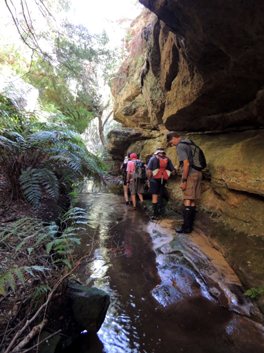
Convolution Creek
Description:
Has its headwaters on the eastern side of Sunnyside Ridge Road 2.5km south of Birds Rock Trig Station. It flows generally south east for 2.6km to its junction with Carne Creek. The topographic map gives only the slightest hint of the sinuous contortions within this creek. Named by Michael Keats on a Bush Club walk, 13th March 2013.
Maps:
- Cullen Bullen
Grid Reference:
- 401 053
Location:
Newnes State Forest
Status:
Threatened
Related Names:
Read More In:
Walks:
- GOS6.30: Convolution Creek and Tagine Point
Photos: