Bush Explorers Encyclopaedia
Name:
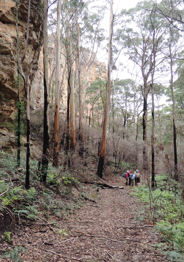
Fernbrook Ridge
Description:
Trends generally south from Marrangaroo Ridge for 4km to above Marrangaroo Creek. Lithgow Topo Map. Named after Fernbrook Firetrail, which generally parallels this ridge in the gully to the west. Name recorded on Michael Keats bush walk, 30th April 2010.
Maps:
- Lithgow
Grid Reference:
- 335 005 to 344 973
Location:
Newnes State Forest
Status:
Threatened
Related Names:
Read More In:
Walks:
- GOS7.03: Ferbrook Ridge
Photos: