Bush Explorers Encyclopaedia
Name:
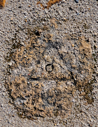
Hartley Trig Station
Description:
Is located on a side track and accessed via Browns Gap Road and Hassans Walls Road. This trig is recorded on the Parish of Lett, 2nd edition, 1889. On the 1st January 1930 the Royal Australian Survey Corps repositioned the trig. It has an elevation of 1141.278m. All that remains of this trig is just a shape of a triangle and drill hole in the rock next to the old shelter shed. Ref: Lands Department SCIMS Survey Mark Report.
Maps:
- Hartley
Grid Reference:
- 361 889
Location:
Hassans Walls Reserve
Status:
Protected
Related Names:
Read More In:
Walks:
Photos: