Bush Explorers Encyclopaedia
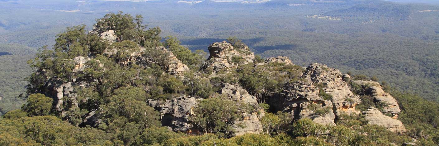
Is named after James Walker (1785-1856), who was granted 2000ac at Wallerawang in 1824. The name Mount Walker is shown on an early map, Plan of Bathurst by James McBrien,1823. Note: this map was a work in progress and additional information was added to the original map. The Aboriginal name for this high point was Giligarambala, as recorded on map showing the various attempts to find the best route from Mt Victoria to the Western Countries, 1914. Different spelling, Gilligarambala, is recorded on the Geological Map of the Districts of Hartley, Bowenfells, Wallerawang and Rydal compiled by Charles Wilkinson, 1875. Located 5.5km due west of Lithgow within Marrangaroo National Park.
- Lithgow
- 299 912
- GOS7.01: Mount Walker and Coxs River
- GOS7.02: Marrangaroo Ridge
- GOS7.09: Ridges north of the Australian Defence Area Boundary

