Bush Explorers Encyclopaedia
Name:
Paddys Mountain
Description:
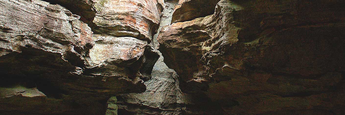
Paddys Mountain. An old ‘mud map’ compiled for the Cowie family reunion in 1984 shows a ‘Track to Paddys Mountain’. Paddys Mountain was the name the locals of Airly Town used for what is now the segment of the mesa between Gap Creek and Genowlan Creek, which includes spot height 1031. The mud map also shows the track extending from Jackass Gap, just below the cliff line.
Maps:
- Glen Alice
Grid Reference:
- 248 338
Location:
Mugii Murum-ban State Conservation Area
Status:
Related Names:
Read More In:
Walks:
Photos:

