Bush Explorers Encyclopaedia
Name:
Panoramic Hill
Description:
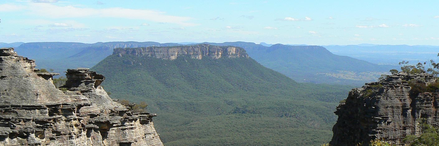
Has a height 1180m, on which Bald Trig Station is located, is now known as Bald Hill. Named by Surveyor Robert Hoddle, 20th October 1823. Ref: Colville, Berres Hoddle. Robert Hoddle Pioneer Surveyor 1794-1881, 2004, p. 43.
Maps:
- Lithgow
Grid Reference:
- 433 958
Location:
Newnes State Forest
Status:
Threatened
Related Names:
Read More In:
Walks:
Photos:

