Bush Explorers Encyclopaedia
Name:
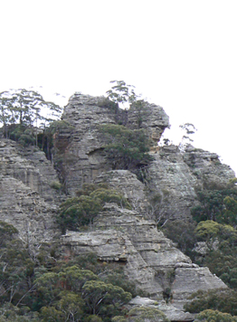
Point Hatteras *
Description:
Is the northernmost point of a bluff, 2.7km east, north east of Mount Airly and 1.8km south west of Genowlan Mountain. The name was first recorded as Cape Hatteras on the Parish of Morundurey, 1916, 4th edition and changed to Point Hatteras on the 1950, 6th edition. The word cape applied to a landform on the coast. It may have been Cape Hatteras which is the easternmost point on United States coastline. But no official origin has been recorded. Changing the name from cape to point is in accordance with the naming of an inland feature.
Maps:
- Glen Alice
Grid Reference:
- 252 343
Location:
Mugii Murum-ban State Conservation Area
Status:
Threatened
Related Names:
Read More In:
Walks:
- GOS1.02: Genowlan Mountain
- GOS1.05: East Mount Airly
- GOS1.11: Point Hattera and Ladders Defile
- GOS1.22: The Valley of the Kings
- GOS1.23: The Eastern Extension of Mount Genowlan
Photos: