Bush Explorers Encyclopaedia
Name:
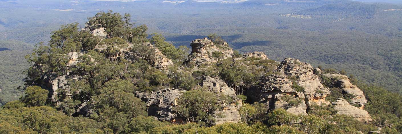
Sir Johns Point *
Description:
Is a bluff on the southern side of Capertee River. It is the northern extremity of Mount Gundangaroo. See Mount Jamison for more details re John Jamison. Named after Sir John Jamison, who held extensive land holdings in Capertee Valley. RAHS Journal Vol. 45; Pt. 2; p. 92.
Maps:
- Glen Alice
Grid Reference:
- 415 331
Location:
Private land
Status:
Related Names:
Read More In:
Walks:
Photos:

