Bush Explorers Encyclopaedia
Name:
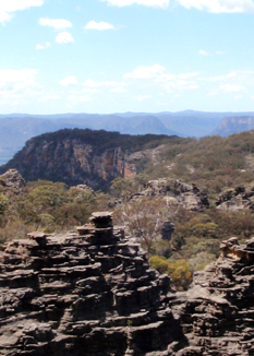
The Hammer
Description:
Refers to an area of land shaped like a hammer head, located on the eastern extremity of Genowlan Mountain mesa. Named by Michael Keats on a Bush Club walk, 9th - 11th November 2010. The aerial view is like the head of a claw hammer.
Maps:
- Glen Alice
Grid Reference:
- 289 334 head of the hammer
- 284 326 claw of the hammer
Location:
Mugii Murum-ban State Conservation Area
Status:
Threatened
Related Names:
Read More In:
Walks:
- GOS1.23: The Eastern Extension of Mount Genowlan
- GOS1.24: Genowlan Canyon, Mothers Arms and the Dragons Mouth
Photos: