Bush Explorers Encyclopaedia
Name:
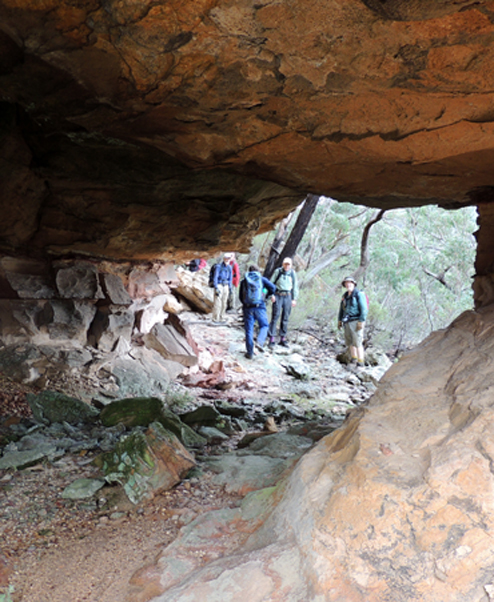
Tunnel 55
Description:
is located 1.7 km due west of Angus Place below the cliff face on a projecting spur of land. Nature has eroded out a tunnel and circular platform that in turn features at its centre a huge boss that supports a massive semi-isolated pagoda. Tunnel dimensions are 8 m long, 4.5 m wide and 3 m high. Named by Brian Fox on a bushwalk, 20 June 2016. The reason for naming is also that it is the location of an exceptional example of the surveyor’s craft, where three strokes symbolising the Broad Arrow with the number 55 below have been executed in bas-relief in sandstone. Research by Brian Fox confirms that the engraving is related to the eastern boundary of Portion 55, Parish of Cox, County of Cook. The original Survey Plan C1376-1507 is dated 15 November 1886. The perfection of this assemblage of the surveyor’s mark and numbers after 145 years is breathtaking. To make the discovery even more significant, the site also includes an original hand-built low rock wall or ‘lock spit’, which was part of the tradition of surveying at the time. Few examples of such craftsmanship still remain.
Maps:
- Cullen Bullen
Grid Reference:
- 317 060
Location:
Newnes State Forest
Status:
Threatened
Related Names:
Read More In:
Walks:
Photos: