Bush Explorers Encyclopaedia
Name:
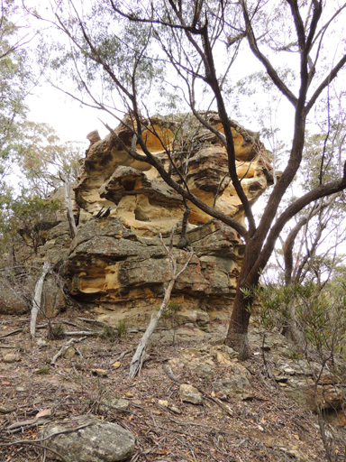
Tyldesley Hill *
Description:
Is located on Ben Bullen Range between Castlereagh Highway on the east and the railway on the west. It is 1.9km north, north west of Cullen Bullen. The top of this hill is surmounted by Cullen Bullen Trig Station at 1066m. Tyldesley Hill takes its name from this village.
Maps:
- Cullen Bullen
Grid Reference:
- 231 132
Location:
Ben Bullen State Forest
Status:
Threatened
Related Names:
Walks:
- GOS5.09: Tyldesley Hill
- GOS5.10: Tyldesley Grikes
Photos: