Wollemi East West Traverse
07-Apr-2018 - 18-Apr-2018
Bulga, Parnell, Monundilla, Kindarun, Coricudgy, Mt Pomany, Growee, Talooby
Bulga (GR 139 839) to Talooby (GR 258 878), about 125 kilometres
Full Packs
Members of the Bush Club led by Yuri Bolotin
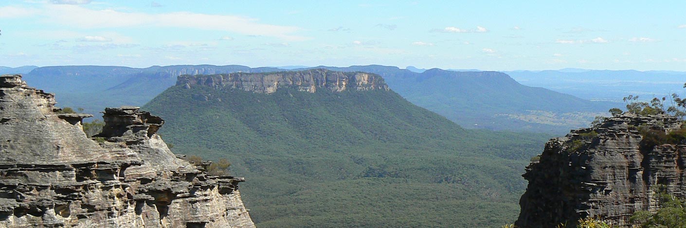
This epic walk traverses the Wollemi National Park from East to West.
It is expected to take 12 days to travel from near the small town of Bulga in the east to the Bylong Valley Way in the west.
The point-to-point distance is 88 kilometres. To negotiate the rugged terrain the party will have to actually cover nearly 140 kilometres, some 62 kilometres further than the point-to-point distance.
The walkers will need to average a bit over 11 kilometres per day. The longest day should be about 15 kilometres, the shortest about 9 kilometres.
Check back to see how the walk is progressing.
08-Apr-2018 - 16:40 : Parnell : GR 042 824 All OK. Point-to-Point Distance from Start about 10 kilometres. Overall Distance around 10 kilometres. Distance for today around 10 kilometres.
09-Apr-2018 - 6:55pm : Parnell : GR 912 813 All OK. Point-to-Point Distance from Start about 23 kilometres. Overall Distance around 23 kilometres. Distance for today around 13 kilometres.
10-Apr-2018 - 6:46pm : Monundilla : GR 781813 All OK. Point-to-Point Distance from Start about 36 kilometres. Overall Distance around 36 kilometres. Distance for today around 13 kilometres.
11-Apr-2018 - 4:40pm : Monundilla : GR 717 796 All OK. Point-to-Point Distance from Start about 42.2 kilometres. Overall Distance around 42.7 kilometres. Distance for today around 6.7 kilometres.
12-Apr-2018 - 5:30pm : Monundilla : GR 668 767 All OK. Point-to-Point Distance from Start about 48 kilometres. Overall Distance around 49 kilometres. Distance for today around 5.7 kilometres.
13-Apr-2018 - 6:40pm : Coricudgy : GR 627 722 All OK. Point-to-Point Distance from Start about 52 kilometres. Overall Distance around 54 kilometres. Distance for today around 6 kilometres.
14-Apr-2018 - 6:52pm : Coricudgy : GR 577 709 All OK. Point-to-Point Distance from Start about 57 kilometres. Overall Distance around 59 kilometres. Distance for today around 5 kilometres.
15-Apr-2018 - 6:20pm : Coricudgy : GR 516 721 All ok. Will take one extra day. ETA 1700 on 20 April. We have enough food.. Point-to-Point Distance from Start about 63 kilometres. Overall Distance around 64 kilometres. Distance for today around 6.25 kilometres.
16-Apr-2018 - 5:00pm : Mt Pomany : GR 458 740 All OK. Point-to-Point Distance from Start about 69 kilometres. Overall Distance around 72 kilometres. Distance for today around 6 kilometres.
17-Apr-2018 - 6:15pm : Mount Pomany : GR 427 812 All OK. Point-to-Point Distance from Start about 77 kilometres. Overall Distance around 80 kilometres. Distance for today around 8 kilometres.
18-Apr-2018 - 5:50pm : Talooby : GR 324 876 All OK. Need to change route in order to achieve complete traverse due to shortage of water. So finishing tomorrow 19th at 5:00pm. Point-to-Point Distance from Start about 94 kilometres. Overall Distance around 90 kilometres. Distance for today around 12.3 kilometres.
19-Apr-2018 - 5:00pm : Talooby : GR 258 878 All OK - total distance on the GPS trip odometer was 171 kilometres with 6,734 metres ascent. Point-to-Point Distance from Start about 100 kilometres. Overall Distance around 96 kilometres. Distance for today around 6 kilometres.

