Bush Explorers Encyclopaedia
Name:
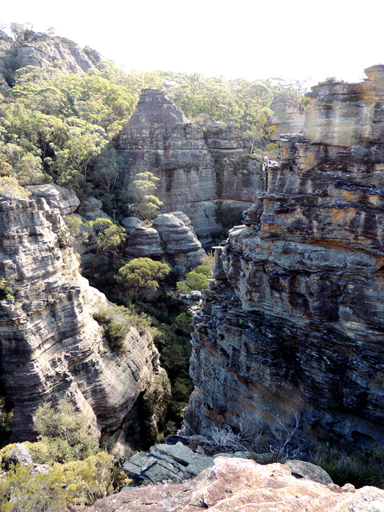
Hidden Valley
Description:
Is a cliff lined, pagoda topped, narrow tributary of Genowlan Creek, 500m north, north east of Genowlan Trig Station. This narrow defile is orientated north south and 400m in length. Named by Dr Haydn Washington, November 1984. Ref: Correspondence with David Blackwell, 27th April 2010 and Haydn’s map.
Maps:
- Glen Alice
Grid Reference:
- 254 321 to 254 325
Location:
Mugii Murum-ban State Conservation Area
Status:
Threatened
Related Names:
Read More In:
Walks:
Photos: