Bush Explorers Encyclopaedia
Name:
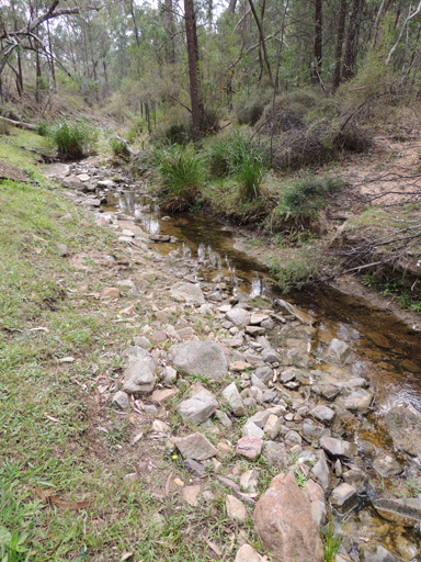
Genowlan Creek *
Description:
Is a non perennial stream rising at Genowlan Trig Station. It flows generally north, east and north east for about 12km into the Capertee River. Genowlan Mountain and Genowlan Creek are shown on the Parish of Morundurey 1894 Map. Survey Plan R1164.1496, dated 1873, shows it as Genowlan Peak. Genowlan Mountain was also known as Morandurey Range. Ref: Eardley, G H. and Stephens, E M. The Shale Railways of NSW, 1974, p. 88. The name Genowlan has similar syntax with the word Jenolan, which in turn was an Aboriginal name meaning "high place". Ref: Cook, Samuel. The Jenolan Caves, 1889, pp. 14-15.
Maps:
- Glen Alice
Grid Reference:
- 257 332 headwaters
- GR 306407 junction
Location:
Mugii Murum-ban State Conservation Area
Status:
Threatened
Related Names:
Walks:
- GOS1.11: Point Hattera and Ladders Defile
- GOS1.22: The Valley of the Kings
- GOS1.23: The Eastern Extension of Mount Genowlan
- GOS1.24: Genowlan Canyon, Mothers Arms and the Dragons Mouth
Photos: