Bush Explorers Encyclopaedia
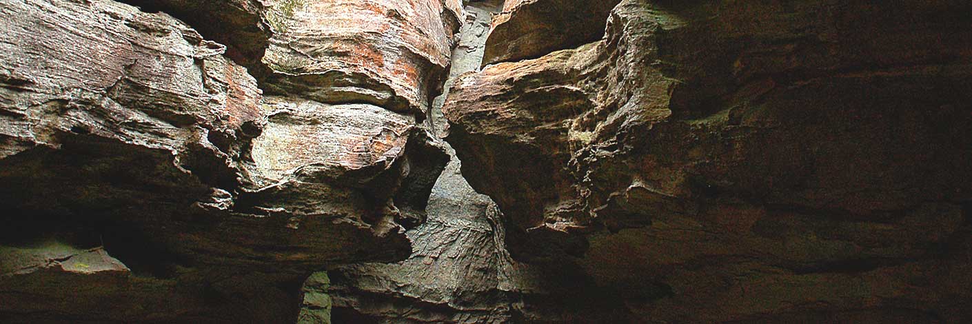
An aerial photograph taken in c1948 showed the whole area appearing as single rock. The "island" is surrounded on the north, east and south sides by the tributaries of Deanes Creek. The "island" is located principally in the south west corner of the Mount Morgan Topographic Map. Using the 900m contour, the south west corner is at GR 436 178 and the north east corner at GR 443 189. The name was created by the original three who proposed the Gardens of Stone National Park, Rodney Falconer, David Blackwell and Dr Haydn Washington, November 1984. Ref: Correspondence with David Blackwell, 2nd May 2010, who records,"This name was given when spotted from the air making a flight / air survey of the areas rich with Pagodas. Rock Island was extremely distinctive with low heath type vegetation, which was laid out with the most distinctive top surface contours of the island just like a "contour" topographical model. Small trees have grown some but the surface has so little soil the island is still distinctive from the landscape around."In 2012, the area was covered with Allocasuarina nana and the name is not quite so apposite.
- Mount Morgan and Ben Bullen
- 439 182 central position
- GOS3.17: Rock Island

