Bush Explorers Encyclopaedia
Name:
Bushrangers Creek
Description:
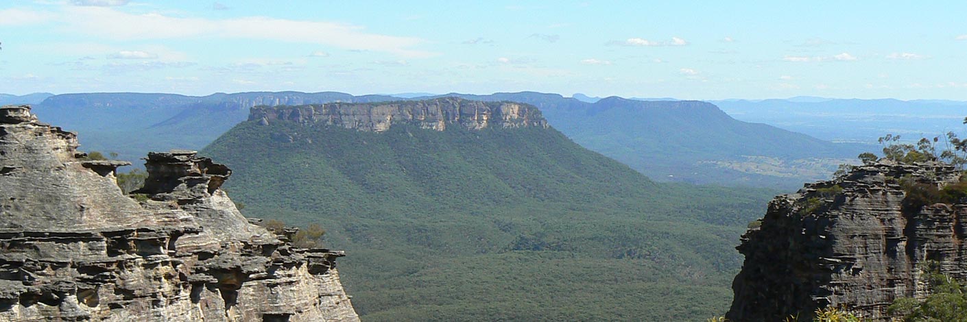
Has its headwaters in a 900m ravine between the western side of Sunnyside cliffs and the eastern side of Cape Pinnacle cliffs. This creek flows generally north and north east for about 5.5km to its junction with the Wolgan River. Named by Hugh Speirs in 2011 after his bushwalking group, called the Bushrangers.
Maps:
- Cullen Bullen
Grid Reference:
- 347 130 headwaters
- 365 170 junction
Location:
Gardens of Stone National Park
Status:
Protected
Related Names:
Walks:
Photos:

