Bush Explorers Encyclopaedia
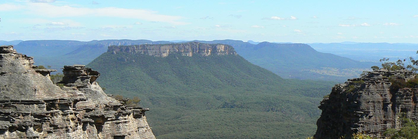
Refers to the surveyed trial line for the Wolgan Valley Railway from Newnes Junction to Newnes via Island Mountain by John Haydon Cardew (1852-1941). The surveyed line appeared on a map prepared by geologist Joseph Edmund Carne in 1906. Cardew’s line involved the construction of a massive bridge across Constance Gorge and an incline ropeway some 1200 feet high to connect from the high level terminus to the mine entrance in Newnes. This option was abandoned by Engineer Henry Deane in favour of a route that took the railway into Newnes via tunnels and steep grades. Cardews Line was used to construct a telephone service as it was the most direct route. See Gardens of Stone National Park and beyond. Book 7, pp 84- 88 and pp 180-189.

