Bush Explorers Encyclopaedia
Name:
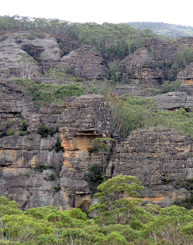
Crisscross Spur
Description:
Trends generally south from Waratah Ridge, 300m east of the boundary of Blue Mountains National Park, GR 482 026, to above the Bungleboori Creek. Crisscross Spur is a complex series of parallel, dissected, interstitial ridge like structures that feature canyons and slots. Named by Yuri Bolotin on a Bush Club walk, 15th June 2012.
Maps:
- Wollangambe
Grid Reference:
- 482 026
- southern terminus 478 003 and 483 002
Location:
Newnes State Forest
Status:
Threatened
Related Names:
Read More In:
Walks:
- GOS4.30: Stillson Spur and Zig Zag Spur
Photos: