Bush Explorers Encyclopaedia
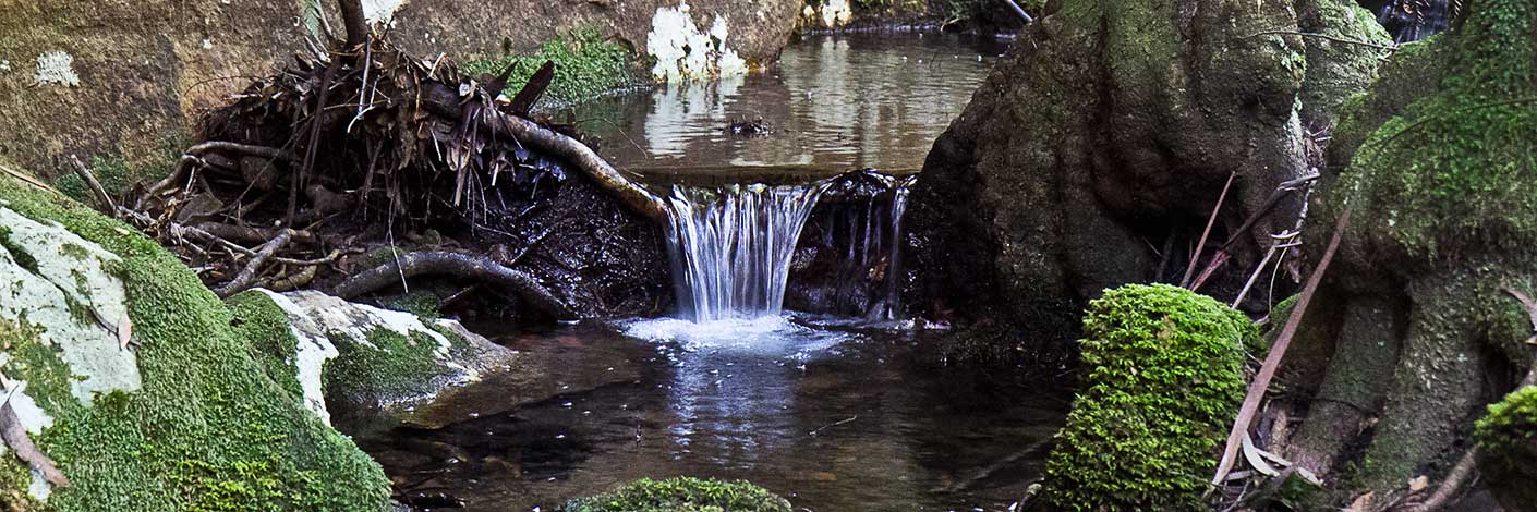
Also see Suboir Canyon. A watercourse, about 14km long. It rises about 3.5km east of Bald Trig Station and generally flows north east into Bungleboori Creek. One of the first bush walking clubs to explore Dumbano Canyon was the Sydney University Bush Walkers. Early walkers from the SUBW were John Paynter and others, who on 24th - 26th December 1961 went as least as far as the upper and middle constrictions. Ref: www.subw.org.au/archives. The three Aboriginal named creeks in this area, Dumbano, Bungleboori and Yarramun, were most likely named by Major Clews when he surved this area in 1932 for the Wallerawang one inch to the mile Army Topo Map.
- Wollangambe
- 479 973 headwaters
- 567 018 junction
- GOS4.18: Holts Heaven and Dumbano Tunnels

