Bush Explorers Encyclopaedia
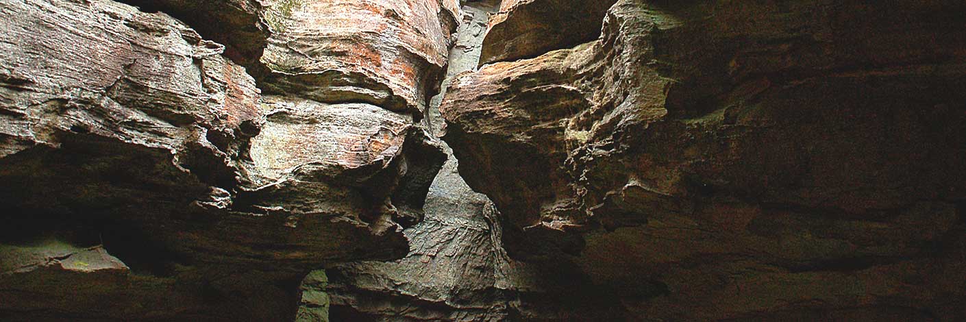
is the name given to the line of cliffs on the southern side of Lithgow between Browns Gap and South Bowenfels. Possibly named by Governor Macquarie during his official tour over the Blue Mountains to Bathurst in April 1815 as it reminded him of when he was stationed in Hassan, India; the mountains there were called the Walls of Hassan. Survey Plans, dated 1832 show land ownership near Hassans Walls. Ref: Sydney Gazette and NSW Advertiser, 23rd August 1832, p. 1. Names within this area were listed as separate entries and included: Padleys Pedestal, Padleys Pedestal Trig Station*, The Dukes Head / King Georges Head, The Ridges: Anzac, Wilton, Clwydd, Cooerwull; Lookouts: Finnigans, Braceys, Pillans; Glens and Gullies: Rutherford, Hassans, Pavilion, Caves: Cook, Gannon, Hoskins, Ryan, Hur1ey, Ronald and Sandford. Tracks: Undercliff Path / Track, Hay Steps, Heffernan Pass and Padleys Pass. See Gardens of Stone National Park and beyond, Book 7, Walk 7.21, for detailed Track Notes.
- Hartley
- 347 887 to 355 885
- GOS7.21: State Mine Gully and Hassans Walls

