Bush Explorers Encyclopaedia
Name:
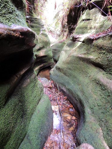
Kangaroo Corner Creek *
Description:
Is a partly perennial stream rising on the western slopes of the Blue Mountains Range about 1.5km north west of Bell. It flows generally south, south west and west for about 4km to meet Dargans Creek and become the River Lett. The descriptive name comes from the Kangaroos seen and located in the corner of this valley.
Maps:
- Mount Wilson and Hartley
Grid Reference:
- 463 898 headwaters
- 439 878 junction
Location:
Status:
Related Names:
Walks:
- GOS7.15: Monkey Creek
- GOS7.16: Kangaroo Corner Creek
Photos: