Bush Explorers Encyclopaedia
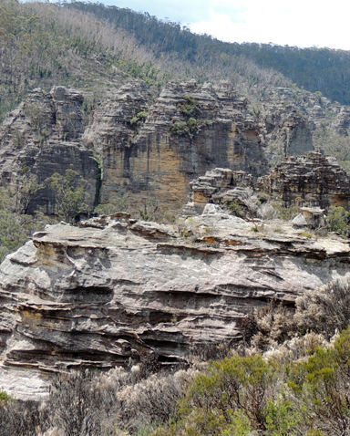
Is located 3km south west from Bungleboori Camping Ground. A 4WD vehicles is needed to negotiate the rough terrain to the end of the ridge. The end of the road overlooks Marrangaroo Creek and the old silted up dams on a side tributary. In the late 1980's probably around 1989 Victor (Vic) Widman, of Great Divide Tours, info@4wd.net.au visited this area and followed the dead end track which led to the unusual rock pagodas. At the time he was a freelance, writing for 4 x 4 Australia Magazine and an Express Publication known as 4WD Weekend Escapes. He coined the name, The Lost City, in these articles, Vic recalls making up the name for the articles based on the lost cities of the Incas in South America , and to his knowledge no one else at that time evercalled it the Lost City. The final descent to the Lost City was closed off by State Forests towards the end of 2002.
- Lithgow
- 371 988
- GOS7.12: Lost City and more
- GOS7.21: State Mine Gully and Hassans Walls