Bush Explorers Encyclopaedia
Name:
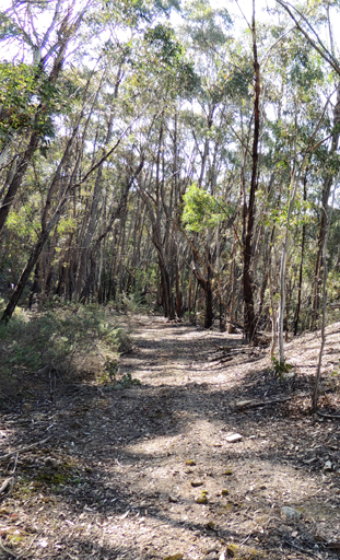
Marrangaroo Ridge *
Description:
Extends from the Blue Mountains Range near the junction of Blackfellows Hand Trail and Beecroft Firetrail and trends in a south west direction for 7km towards the Great Western Highway.
Maps:
- Lithgow
Grid Reference:
- 353 024 to 312 982
Location:
Newnes State Forest
Status:
Threatened
Related Names:
Read More In:
Walks:
- GOS7.02: Marrangaroo Ridge
Photos: