Bush Explorers Encyclopaedia
Name:
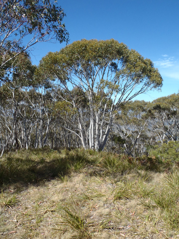
Marrangaroo National Park *
Description:
Follows the Coxs River from the Great Western Highway at Wallerawang to the headwaters of Lake Lyell. Created in February 2007, it covers an area of 1,671 hectares. Its highest point is Mount Walker at 1189m.
Maps:
- Lithgow
Grid Reference:
Location:
Status:
Related Names:
Read More In:
Walks:
Photos: