Bush Explorers Encyclopaedia
Name:
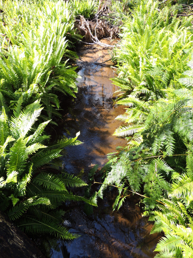
Marrangaroo Creek *
Description:
Is a watercourse rising on the State Mine Gully Road, half way between State Mine Gully and Bungleboori Camping Ground about 3km west, north west of Happy Valley Springs. It flows generally west and south for about 16km through the suburb of Marrangaroo into the Coxs River.
Maps:
- Lithgow
Grid Reference:
- 394 990 headwaters
- 294 939 junction
Location:
Newnes State Forest headwaters
Status:
Threatened
Related Names:
Read More In:
Walks:
- GOS7.01: Mount Walker and Coxs River
- GOS7.03: Ferbrook Ridge
- GOS7.09: Ridges north of the Australian Defence Area Boundary
- GOS7.12: Lost City and more
- GOS7.21: State Mine Gully and Hassans Walls
Photos: