Bush Explorers Encyclopaedia
Name:
Mount Flaherty
Description:
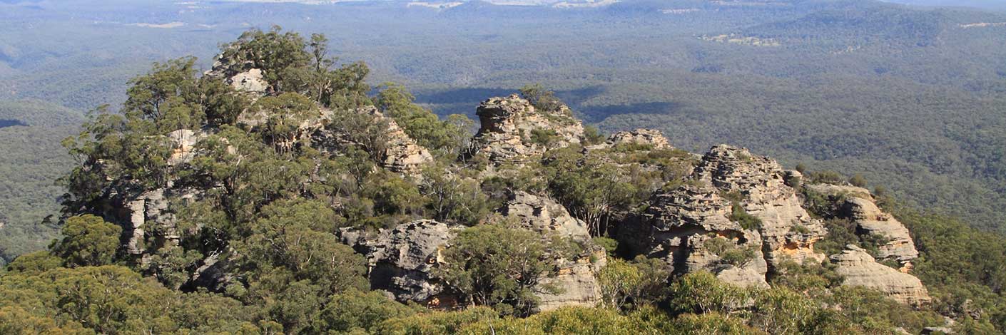
Is located 2.7km north west of Marrangaroo, height of 1149m. This name is shown on the maps Geological Map of the Districts of Hartley, Bowenfells, Wallerawang and Rydal, compiled by Charles Wilkinson, 1875 and Map of the Western Coal Fields, 1906.
Maps:
- Lithgow
Grid Reference:
- 299 958
Location:
Marrangaroo National Park
Status:
Protected
Related Names:
Read More In:
Walks:
- GOS7.01: Mount Walker and Coxs River
Photos:

