Bush Explorers Encyclopaedia
Name:
Mount Gundangaroo *
Description:
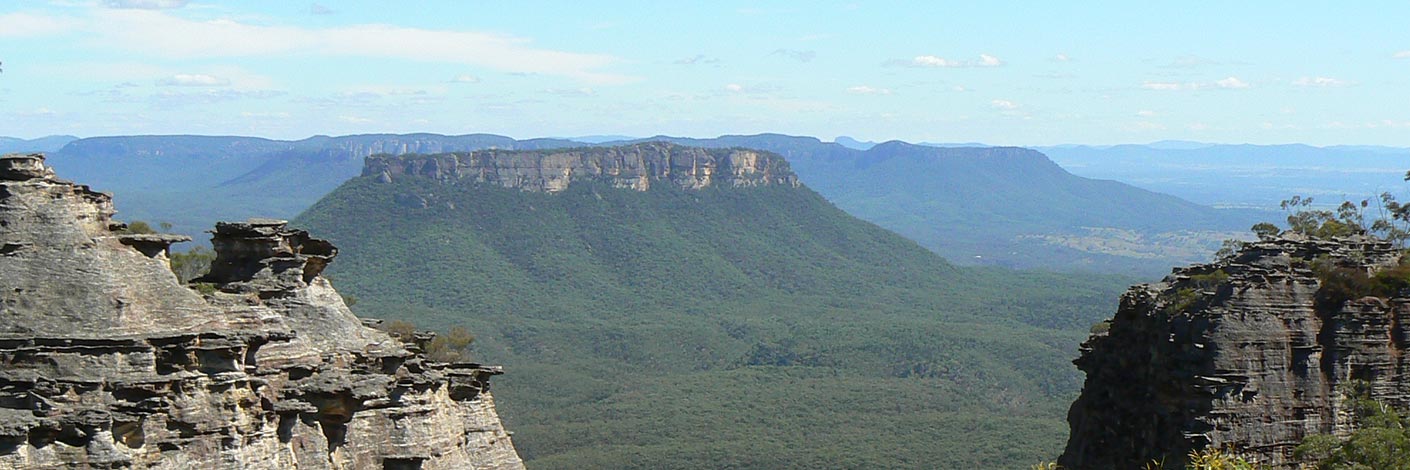
Refers to the northern section of a mesa, 789m high. Located 1.8km south of the junction of Glen Davis Road and Glen Alice Road and 5km west of Glen Davis. The south western part of this mesa contains Mount Canobla. Mount Gundangaroo is shown on the map Parish of Gindantherie, 1892. The name is Aboriginal in origin. Unfortunately, it is not recorded as to which dialect the name came from. For example, the suffix "garoo" refers to "hungry". Ref: Curr, Edward M. The Australian Race, 1886, and also recorded as "magpie", Watson, G. Mouths of the Burdekin River and Science of Man, 1898.
Maps:
- Glen Alice
Grid Reference:
- 415 324
Location:
Status:
Related Names:
Read More In:
Walks:
- GOS1.02: Genowlan Mountain
- GOS1.08: Moffitts Trail to Tarpeian Rock via Rowans Hole
- GOS1.10: The Cliffs South East of Genowlan Mountain
- GOS1.23: The Eastern Extension of Mount Genowlan
- GOS2.05: Mount Gundangaroo
- GOS2.06: The Wolgan - Capertee Divide
- GOS2.24: Traversing Pantoneys Crown
- GOS5.02: Gaudis Walls
Photos:

