Bush Explorers Encyclopaedia
Name:
Mount Harvey *
Description:
Is located midway along a ridge line which divides Sapling Flat Creek from Red Rock Creek. It is 6.7km due east of Pantoneys Crown. Shown on the map Parish of Goollooinboin, 1884. Most likely, Harvey was a person who took out a Conditional Purchase Lease in this region, but no definitive origin for this name has been found.
Maps:
- Ben Bullen
Grid Reference:
- 351 237
Location:
Gardens of Stone National Park
Status:
Protected
Related Names:
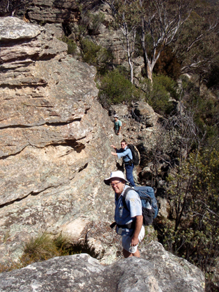
Walks:
- GOS2.01: Mount Harvey and Mount Dawson Pass
- GOS2.24: Traversing Pantoneys Crown
- GOS2.27: Mount Dawson via Capertee Creek
Photos: