Bush Explorers Encyclopaedia
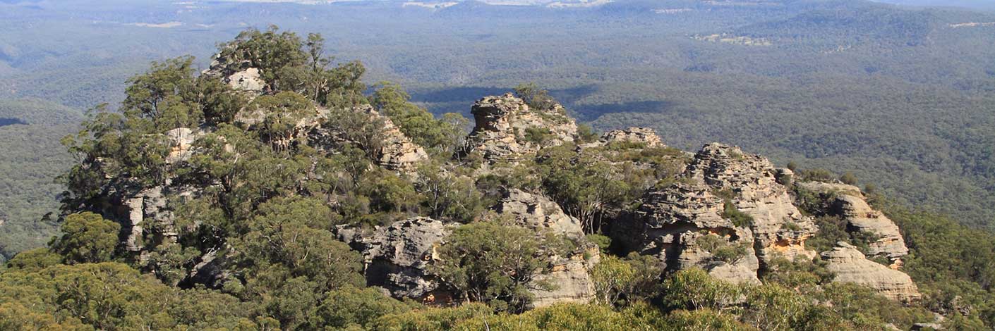
is a hill, 1170m, on Waratah Ridge Road, 3.3km east, north east of Bungleboori Camping Ground. Mount Horne appears to be a misspelling, as the Parish of Clwydd, County of Cook, 4th and 5th editions, 1917 and 1928, as well as Wilson, Alex. Map showing the various attempts to find the best route from Mount Victoria to the Western Country NSW,1914, all record the name as Mount Horn. Most likely, it was named after Cape Horn, the southernmost tip of South America that was the halfway point and fastest route from Australia to England. It is isolated, has notoriously rough seas and icebergs. Maybe this area was a land equivalent to the similar isolation and ruggedness of Cape Horn. The Aboriginal grinding grooves and water basins on top of this hill have been referred to as The Tool Factory by Wendy Lewis, who is legally recognised as a traditional owner of Wiradjuri lands. Correspondence, 8th April 2010.
- Lithgow
- 427 011
- GOS4.12: Bungleboori Creek and Clwydd Pass
- GOS4.15: Mount Horne - Bungleboori Creek and Paddys Creek
- GOS4.31: Dingo Creek and Cerberus Creek

