Bush Explorers Encyclopaedia
Name:
Numietta
Description:
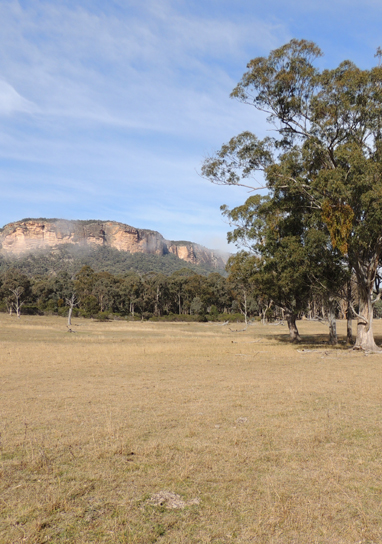
Numietta used to be the name of the locality 2km north east of Glen Alice and the flat expanse east of Mount Innes. The name still applies to Numietta Creek, Numietta Road and Numietta homestead. Peter Grant Ogilvie assistant surveyor to Surveyor General Thomas Mitchell first recorded this Aboriginal name on his map 31st January 1830. Ref: State Records, Surveyor Generals Maps, 2509.
Maps:
- Glen Alice
Grid Reference:
- 420 420
Location:
Status:
Related Names:
Read More In:
Walks:
Photos: