Bush Explorers Encyclopaedia
Name:
Oaky Creek *
Description:
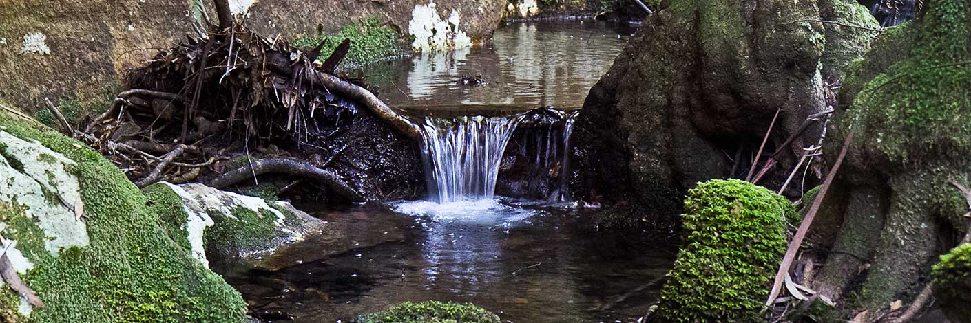
Is a partly perennial creek rising about 5km north west of McDonalds Mountain. It flows generally south east and north east for about 15km into the Capertee River. The Casuarinas growing along the creeks, known as River Oaks, have given rise to this creek's name. The spelling as Oakey Creek is shown on the map Part of New South Wales, The Interior from Sir Thomas Mitchell's Map and the Coastline from HMS Acheron 1851. The map Parish of Airly, County of Roxburgh, 1st edition, 1884, records on the same sheet two spellings, Oakey Creek and Oaky Creek. All subsequent maps record the spelling as Oaky Creek.
Maps:
- Upper Turon and Glen Alice
Grid Reference:
- 737 431 headwaters
- 236 402 junction
Location:
Status:
Related Names:
Walks:
- GOS1.01: Blacks Corner
Photos:

