Bush Explorers Encyclopaedia
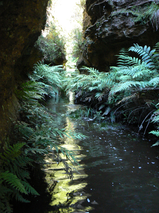
Has its headwaters near the junction of State Mine Gully Road and Old Bells Line of Road about 4km north west of Bald Trig Station. It flows in a north east direction for about 3.5km into Bungleboori Creek. Shown as Paddys River on the Blue Mountains Burragorang Valley Tourist Map, 1932 and within Stephens, Eric. Wolgan Railway Notebook, 1934-1937. Before Bungleboori Creek was named, the whole of this drainage system was known as Paddys River. Lithgow Municipal Council Minutes, 12th January 1942, record the name Paddys Creek. Patrick (Paddy) Mullens (c1831-1876) had placed advertisement in the Town and Country Journal, 26th September 1872, "To Drovers, a new track has been discovered which avoids the Toll Gates," There was a toll gate at Blackmans Flat. The track went from Bell to Ben Bullen. The Lithgow Topo Map shows the main access road near Bungleboori and Paddys Creek as Old Bells Line of Road. Ref: Brown, Jim. Bent Backs, 1989, pp. 275-276. The spring within Paddys Creek would have been used by the drovers to water their cattle and sheep.
- Lithgow
- 401 978 headwaters
- 424 995 junction
- GOS4.12: Bungleboori Creek and Clwydd Pass
- GOS4.15: Mount Horne - Bungleboori Creek and Paddys Creek
- GOS4.16: Bungleboori Creek - Paddys Creek