Bush Explorers Encyclopaedia
Name:
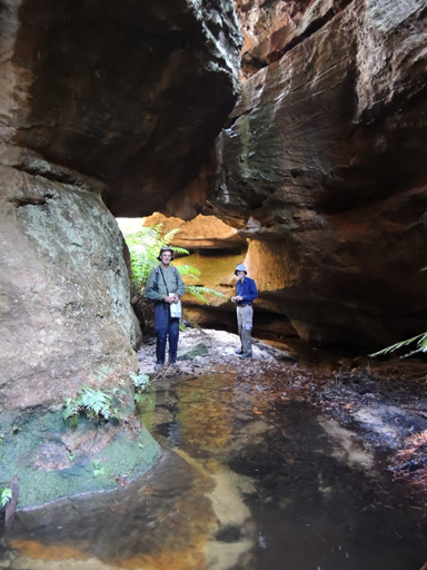
Popeye Creek
Description:
Has its headwaters on the northern side of Waratah Ridge, 700m east of the end of the vehicular road. This creek flows generally north east for about 3.5km, with many convolutions, into Dingo Creek.
Maps:
- Wollangambe and Rock Hill
Grid Reference:
- 487 027 headwaters
- 509 042 junction
Location:
Blue Mountains National Park
Status:
Protected
Related Names:
Read More In:
Walks:
- GOS4.22: Thorpes Folly via the Hair of the Dog Ravine
- GOS4.34: Ravines above Popeye Canyon
Photos: