Bush Explorers Encyclopaedia
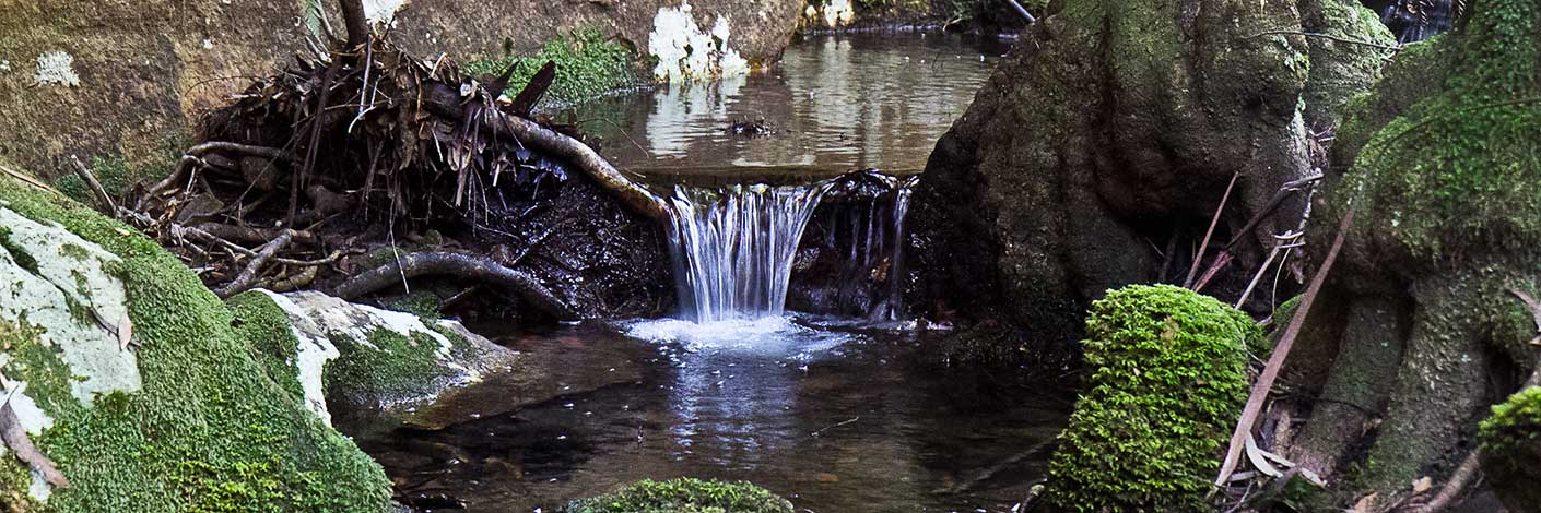
Is a basin like valley at the headwaters of Coco Creek within the Capertee Valley. Road access is via Castlereagh Highway at Ben Bullen, Hutchinson Road and Moffitts Trail. Ben Bullen Topo Map, GR 257 202.
Rowans Hole was part of the shortest stock route into and out of Capertee Valley. Annabella Boswell's Journal, p. 24, records in 1839,"One of these roads was known as, ‘The Hole’....was the best as well as the shortest way, but only available for persons walking or on horseback for there was one tremendous hill up and down.”
Before the lease of this land to Walter Rowan, the area was known as Dulhuntys Hole. Ref: Parish of Ben Bullen, 1885. Subsequent parish maps recorded the name as Rowans Hole. Robert Venour Dulhunty had selected 2000ac in 1824 and his property was called Cullen Bullen.
The Survey Plan 1460-1496 has “Note: In the advent of the Conditional Purchase becoming Lapsed or Forfeited the plan should be forwarded to the Reserve Branch with a view of including the area in Railway Reserve 180; Notified 5th December 1883.”Portions 40, 60 acres and 41, 40 acres, show the name Coco or Cooks Creek and swamp through the western side of these Portions.
Note: as the survey was completed two years after the Conditional Purchase, the plan shows the outline of Corn Paddock on Portion 41, a hut in the centre and garden on the north side of the hut. The plan records, “Value of Improvements, Hut £26, Fencing £30, Clearing £20, Ringbarking £2, Total £78.” Ref: Survey Plan 1460-1496.
Carne, Joseph. Geology and Mineral Resources of the Western Coalfield, 1908, p. 68 describes Holes as“streams heading in volcanic necks have sawn through encircling precipitous cliffs, producing a resemblance to frying pans with long crooked handles; such are discriminated as ‘round topped arms’, arm being synonymous with creek or stream. Holes are also suggestive appellations for the circular heads of those channels.”
- Ben Bullen
- 257 202
- GOS1.08: Moffitts Trail to Tarpeian Rock via Rowans Hole
- GOS1.14: Rowans Hole West to East
- GOS1.16: Rowans Hole and more
- GOS1.19: Exploring the Pagoda Maze
- GOS1.21: Blackmans Crown and Platform Rock
- GOS5.02: Gaudis Walls

