Bush Explorers Encyclopaedia
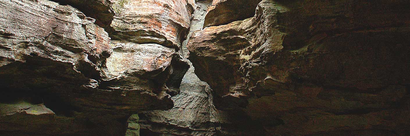
Is a saddle in the mesa east of Woolpack Rock. It is 2.3km east of Wolgan Trig Station. To the north is the drainage for Red Rock Creek in the Capertee Valley. To the south is the drainage which flows into Barton Creek in the Wolgan Valley.
The name Woolpack Gap was called Wolgan Gap Ref: Parish of Wolgan 1905, 3rd ed; 1916, 4th; 1930, 5th editions and Carnes Geological Map Capertee and Wolgan Valley, 1901. It was not until the Ben Bullen Topo Map of 1974 that Woolpack Gap is shown. Gazetted by the Geographical Names Board 20th June 1975. It quite obviously was renamed to avoid confusion with the name Wolgan Gap on the Wolgan Road at the entrance to the valley.
- Ben Bullen
- 339 203
- GOS1.07: McLeans Pass and further east
- GOS1.12: Collett Gap and Woolpack Rock
- GOS2.02: Mount Dawson and Gindantherie Pinnacle
- GOS5.05: Exploring Cape Horn
- GOS5.13: Wolgan Gap cliff line

