Camp Site Details
Expedition: Wollemi North South Traverse
Date:
Map: Widden
GR: 56H 2 54 532E 63 95 760N (WGS84)
Latitude: -32.5485049
Longitude: 150.3859740
Reached camp at 4:46pm
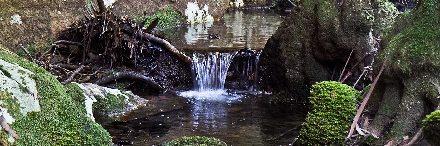
Camped 725 metres ENE of the planned camp beside a creek.
Date:
Map: Widden
GR: 56H 2 54 532E 63 95 760N (WGS84)
Latitude: -32.5485049
Longitude: 150.3859740
Reached camp at 4:46pm
Camped 725 metres ENE of the planned camp beside a creek.