Bush Explorers Encyclopaedia
Name:
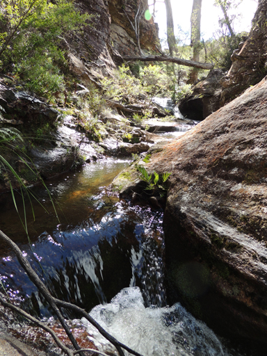
Camp Creek
Description:
Has its headwaters on Waratah Ridge and flows generally south for 5km, passing through Murrays Swamp. It then generally winds in a westerly direction between Firetrails No. 1 and 2 until it joins Carne Creek. Named after the road, Camp Road, which in turn was named after the old Newnes Afforestation Camp. Descriptive name coined by Michael Keats on his Bush Club walk, 7th March 2007.
Maps:
- Lithgow and Cullen Bullen
Grid Reference:
- 425 020 headwaters
- 425 071 junction
Location:
Newnes State Forest
Status:
Threatened
Related Names:
Read More In:
Walks:
- GOS3.03: Donkey Mountain 3
- GOS3.14: Carne Creek Cliffs, Camp Creek, the Dung Cave and more
- GOS3.15: Carne Creek Cliffs and Lurline Jack Lookout
- GOS6.33: Devils Throuat and the cliffs of East Creek
Photos: