Bush Explorers Encyclopaedia
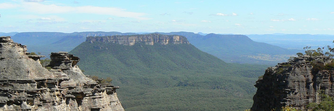
Is the eastern most bluff of the cliffs of the Great Dividing Range between the Wolgan Gap and McLeans Pass. It has the tributaries of Barton Creek on the north and the tributaries of Wolgan River on the south. Shown on both Cullen Bullen and Ben Bullen Topo Maps at easting 325. Cape Horn was possibly named in connection with John Dunmore Lang, the Scottish minister who encouraged 140 Scottish tradespeople and families to immigrate to NSW. Many ended up in the CaperteeValley. Lang, who had arrived in Sydney in 1823, made two trips back to England via Cape Horn. On one occasion he recorded icebergs as triangular in shape, 300ft high and "magnificent a phenomenon". No doubt, the rocky sandstone pagodas reminded him of the icebergs at Cape Horn. He also named his youngest son John Cape Horn Lang. Ref: The Maitland Mercury, 3rd October 1849, p. 3, death of John Cape Horn Lang, and Lang, John. An Historical and Statistical Account of New South Wales, 1833.
- Cullen Bullen and Ben Bullen
- 325 173
- GOS1.13: Crown Creek and Hughes Defile
- GOS1.20: Hecates Cauldron
- GOS6.13: Sunnyside Gully
- GOS6.14: Sunnyside Point and Wolgan Pinnacle

