Bush Explorers Encyclopaedia
Name:
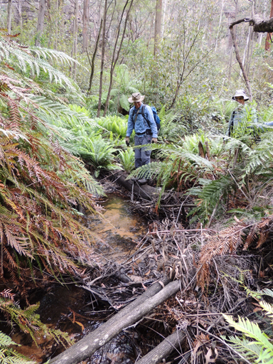
Dingo Creek *
Description:
Rises on Waratah Ridge, north east side of Glowworm Tunnel Road and Waratah Ridge Road. It is about 17km in length and flows north and east into Bungleboori Creek. Name assigned by GNB, Government Gazette, 29th September 2006. Originally, Dingo Creek only referred to the first 4km of the creek from its headwaters; the eastern section of this creek was known as the North Branch Bungleboori Creek.
Maps:
- Wollangambe and Rock Hill
Grid Reference:
- 435 018 headwaters
- 562 024 junction
Location:
Status:
Related Names:
Read More In:
Walks:
- GOS2.19: The Minotaur Lair
- GOS4.20: Dingo Creek from GR 454 060 and downstream
- GOS4.21: Howling Arch, the Pool of Diana and the Pool of Aphrodite
- GOS4.22: Thorpes Folly via the Hair of the Dog Ravine
- GOS4.24: Minyaba Canyon and Bula Nadgyung
- GOS4.29: Mount Norris and Railmotor Ridge
- GOS4.30: Stillson Spur and Zig Zag Spur
- GOS4.31: Dingo Creek and Cerberus Creek
- GOS4.33: Cerberus Creek traverse
- GOS4.34: Ravines above Popeye Canyon
- GOS4.35: Hair of the Dog Ravine
- GOS4.36: Northern cliffs of Dingo Creek
Photos: