Bush Explorers Encyclopaedia
Name:
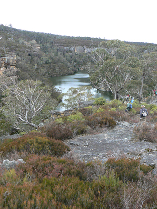
Farmers Creek *
Description:
Is a perennial stream rising 4.5km north of Clarence Railway Station. It flows generally south west for about 17.6km through city of Lithgow into Lake Lyell and the Coxs River. Surveyor General Thomas Mitchell recorded in his diary on the 2nd April 1835. Ref: Mitchell, Major Thomas. Expedition to the River Darling, 1835.
Maps:
- Lithgow
Grid Reference:
- 412 969 headwaters
Location:
Newnes State Forest headwaters
Status:
Threatened
Related Names:
Read More In:
Walks:
- GOS4.11: Bungleboori Creek and the WWII Water Supply Dam
- GOS7.13: Farmers Creek - a western tributary
- GOS7.22: The Zig-Zag Railway and Ida Falls Creek
Photos: