Bush Explorers Encyclopaedia
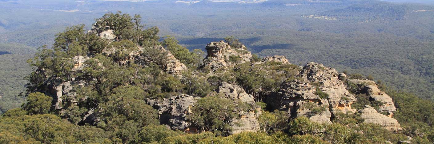
Is a break in the Great Dividing Range about 3km north west of Wolgan Gap and about 5km due east of the town of Cullen Bullen. Gardiners Gap is shown on the map Parish of Ben Bullen, 1885. William Wolf Gardiner (c1809-1887) took out a Conditional Purchase for 40ac in this area on the 28th February 1867. Later his grandsons, Thomas William Gardiner (1866-1940) and Charles Livingstone Gardiner (1886-1952), purchased land in 1883 and 1913 respectively. Ref: Survey Plans 719, 1411, 1502, 1832, 1870 and 3753- 1496. NSW BDMs. Gardiners Gap was the quickest way for drovers to move cattle and sheep from Ben Bullen to Bell, simultaneously avoiding the toll at Blackmans Flat from 1876. Ref: Brown, Jim.Bent Backs, 1989, pp. 275-276. Wilson, Alex. Map showing the various attempts to find the best route from Mount Victoria to the Western Country NSW, 1914. This map shows a dotted line from Gardiners Gap to Newnes Junction (connects to Bells Line of Road). Text reads,"Route suggested by delegates of Richmond Committee for road Mudgee to Wellington Valley." Also text, "stock route Cullen Bullen to Bells Line opened by Thomas Maddox. "
- Cullen Bullen
- 290 120
- GOS5.11: Cullen Bullen Cemetery to Wolgan Gap
- GOS5.15: Arwens Pathway
- GOS5.21: Long Swamp
- GOS5.22: Ben Bullen Pillars

