Bush Explorers Encyclopaedia
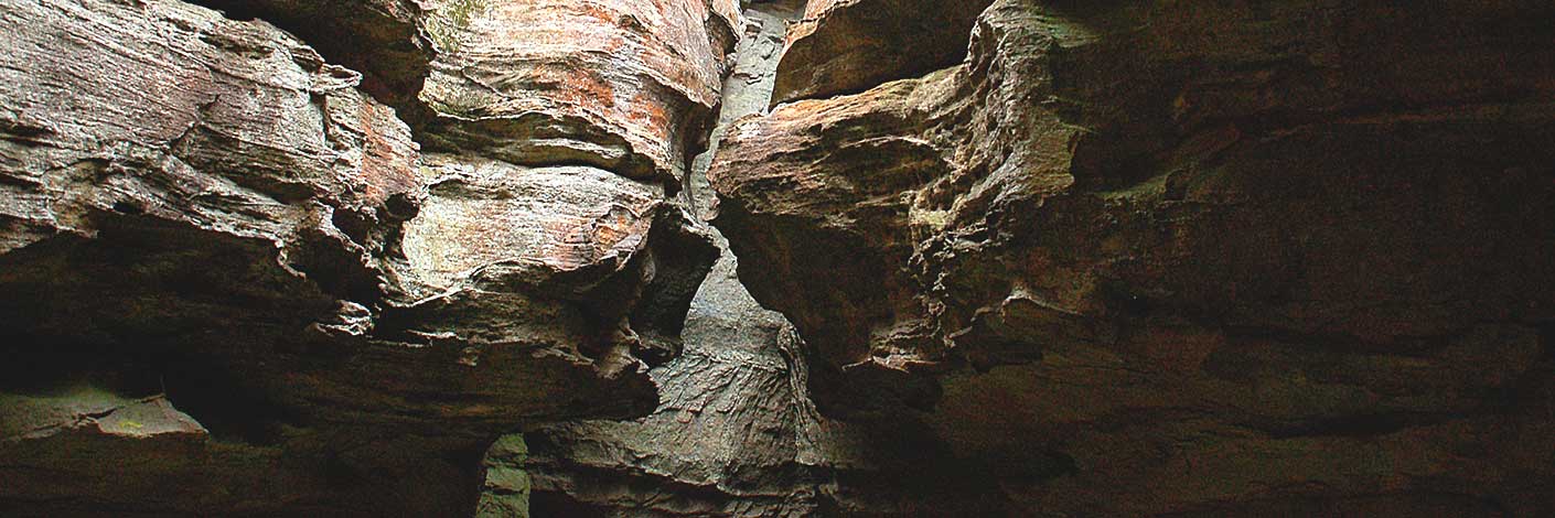
Is a deep saddle connecting the Capertee and Wolgan Valleys. The northern end is located at the head of Sapling Flat Creek, about 1km south of Mount Stewart and 1.5km north east of Wolgan Trig Station. The Geological Map of the Capertee and Wolgan Valleys by Joseph Carne, 1901, shows a bridle track through Hughes Defile. Shown on the map Parish of Wolgan, 1884. Joseph Hughes was born on 2nd July 1840, the second son of Edward Hughes, a convict transported to Sydney in 1823. In 1832, Edward Hughes was sent to work for James Walker on his property, Wallerawang. Two months before Joseph was born, Edward received formal pardon. However, being the son of a convict meant limited job opportunities, so Joseph became a bullock driver. After marrying Agnes Eager Black, he settled at Wolgan Gap. Ref: Edward - Anne Hughes Reunion, Black Springs, 27th November 1988, compiled by Josie Noonan, Lithgow and District Family History Society. Joseph Hughes selected his first 40ac in the Wolgan Valley on the 1st April 1869. Ref: Survey Plan CP1038-69 (about 3km south, south east of Hughes Defile). He went on to purchase three other 40ac parcels of land. Ref: Survey Plan C403.1507 and CP3767-70. Joseph's sisters Rebecca and Julia both married into the Murray family who had the earliest connections with the Wolgan Valley through their grandparents, Edward (Ned) and Rosannah (Rose) Murray. Ref: Murray family tree. John McLean owned extensive land holdings in the Capertee Valley and leased the property Wolgan after James Walker's death. John McLean had cut a pass to allow access to both the Capertee and Wolgan Valleys for the ease of agisting his stock. Ref: Coxon, Betty. Not Lost but Gone Before. A Family History of the McLeans of Capertee, 1999, p. 20.
Note: The Survey Plan 403.1507 dated 12 June 1869 records as Capertee Gap.- Ben Bullen
- 326 210
- GOS1.07: McLeans Pass and further east
- GOS1.09: Passes of East Genowlan Mountain
- GOS1.13: Crown Creek and Hughes Defile
- GOS3.07: A natural tribute to Michelangelo
- GOS5.05: Exploring Cape Horn
- GOS6.10: Sunnyside Canyon and Ravines

