Bush Explorers Encyclopaedia
Name:
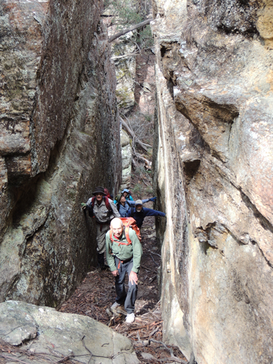
Jackass Gap
Description:
Is a name shown on a mud map of part of the Airly region prepared for the Cowie family reunion in 1984. A walking track shown on the map records walking access from the valley floor GR 239 329 south of the property now known as Rock Bottom up a creek system and through a gap in the cliff line, Jackass Gap to the top of the mountain 245 326.
Maps:
- Glen Alice
Grid Reference:
- 243 327
Location:
Mugii Murum-ban State Conservation Area
Status:
Threatened
Related Names:
Read More In:
Walks:
Photos: